
Užpaliai on both banks of the Šventoji
Accommodation in Užpaliai
Key facts
Its location on both banks of the Šventoji gives Užpaliai a clear geographical reference point. If you first orient yourself by location when planning a trip around Lithuania, this river can help you find your bearings. Another way to approach the town is through its history: Užpaliai developed from a castle of the Grand Duke of Lithuania, through an estate, into a town. It was first mentioned in writing in 1261.
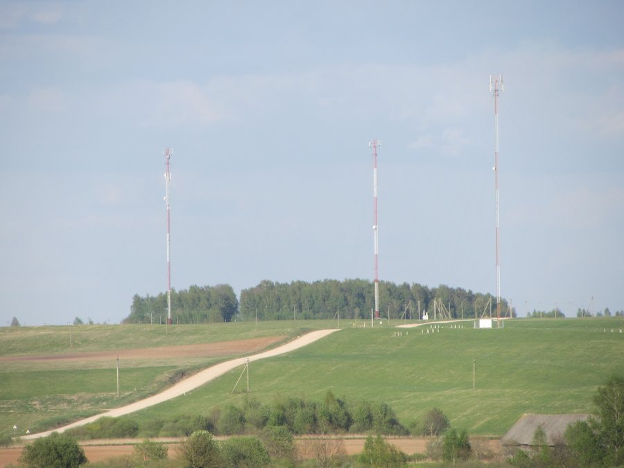
- Užpaliai lies on both banks of the Šventoji River.
- The town was first mentioned in a written source in 1261.
- Its history runs from a castle of the Grand Duke of Lithuania, through an estate, to a town.
- The church’s bell tower has a square ground plan, four floors and three sections of different sizes; the church has five altars.
- A hillfort is located in the nearby village of Šeimyniškiai, on the site of the former Užpaliai.
- The Krokulė spring and a stone in Lygamiškis are protected natural heritage objects and are included in the Register of Cultural Property.
- A collection of traditional Aukštaitija towels also includes items from Viktorija’s personal trousseau chest.
Užpaliai on the Šventoji
This sequence connects different historical periods without merging them into a single era. It offers a concrete starting point if, when planning your trip, you want to consider not only a place’s location but also its documented development.
The church and the town’s history
The architecture of Užpaliai’s church bell tower can be described through several clear features: it has a square ground plan, four floors and three sections of different sizes. The church has five altars. Together, these details give a specific picture of the building’s form and furnishings, without conflating different parts of the building.
A shelter for poor and older people, a rectory and an almshouse were also built alongside the new church. These historical buildings add an ecclesiastical context to the town’s development from an estate into a town.
Traces in the surrounding area
The Šeimyniškių hillfort, also called the castle mound, is located in the village of Šeimyniškiai. The hillfort dates from the 10th to the 15th century; the former Užpaliai was located on this hill. The summit plateau is trapezoidal and 70 metres long. It is 40 metres wide at the southeastern end and 19 metres at the northwestern end.
A terrace is another documented landscape feature: it runs towards the forecourt along the southeastern slope of the ditch between the hillfort and the forecourt. It is one metre wide and is a remnant of an old road. Its position and direction matter: the terrace is not simply an arbitrary path on the hill, but a specific remnant between the two landforms.
Putting cultural heritage and accommodation searches in context
Nearby, in the village of Lygamiškis within the Užpaliai Eldership, are the Krokulė spring and a stone. Both are protected by the state as natural heritage objects and are included in the Register of Cultural Property. In Užpaliai itself, a collection of traditional Aukštaitija towels includes items from Viktorija’s personal trousseau chest. Viktorija shares items from her own collection with visitors.
Discover more destinations: Ignalina, Dubingiai, Girsteitiškis, Anykščiai, Alanta, Salakas, Giedraičiai, Molėtai.
For the broader travel overview: Utena County.

