
Discover Salakas
Accommodation in Salakas
Get to know Salakas from two different perspectives: the landscape around the town and the history of the people in the region. A nearly five-kilometre educational trail and an ethnographic exhibition offer concrete starting points for including nature and culture in your travel plans.
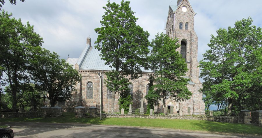
Key facts
- Salakas lies on a flat rise.
- There is a lake on one side; the surrounding area is otherwise characterised by pine forests interspersed with spruce, hills and valleys.
- The farmsteads east of Salakas extend to Lake Luodis.
- The Salakas educational trail is a nearly five-kilometre circular route.
- The route is listed as taking approximately two hours and 30 minutes.
- Starting points include the campsite by Lake Luodis, the Gražutė Regional Park Visitor Centre and a second location at Luodis.
- The ethnographic exhibition of the Salakas region covers life from the late 19th century to the 20th century.
Landscape between the rise and Lake Luodis
Salakas’s location on a flat rise gives the landscape around it a clear underlying form. A lake borders one side of the town; on the other sides, the surroundings are shaped by pine forests interspersed with spruce, hills and valleys. Lake Luodis is another feature: the farmsteads east of Salakas extend right up to it. The rise, wooded surroundings and lake are therefore key landmarks when exploring the town’s landscape.
An overview of the Salakas educational trail
The circular route is nearly five kilometres long, and its stated duration is approximately two hours and 30 minutes. Distance and time answer different planning questions: the kilometres describe the length of the route, while the time gives you a guide for estimating how long to set aside.
The route description lists the campsite by Lake Luodis, the Gražutė Regional Park Visitor Centre or a second location at Luodis as possible starting points. When planning, you can first check which of these starting points best suits your intended orientation.
The educational trail is a tangible reference point for travellers who want to understand Salakas not only through its location but also by following a specific route. When planning your time, take into account the approximate duration as well as the circular route and its nearly five-kilometre length.
Regional history in the exhibition
The ethnographic exhibition of the Salakas region presents the way of life of people from the late 19th century to the 20th century. Its themes include living conditions and household items, as well as the character of the town’s residents. It also covers national holidays, traditional crafts and trades, notable figures from the town, and national minorities.
The range of topics makes the exhibition a distinct way to explore the region’s culture: living conditions and objects turn the focus to everyday life, while crafts and trades explore other aspects of life at the time. Holidays, notable figures and national minorities add communal and social themes to this perspective. The period from the late 19th century to the 20th century also helps you place the exhibition in its historical context.
Choose Salakas based on your interests
When choosing a destination, consider which perspective interests you more: the landscape of the rise, forests, hills, valleys and Lake Luodis, or the regional history explored in the exhibition. The educational trail complements the landscape with a route of a stated length and approximate duration. This gives you several concrete points of reference for including Salakas in your travel plans and finding suitable hotels for your stay.
Discover more destinations: Zarasai, Balninkai, Sudeikiai, Bičionys, Ignalina, Rimšė, Antazavės Seniūnija, Giedraičiai.
For the broader travel overview: Utena County.

.jpg)