
Plateliai: Lake, Circular Cycling Route and Cultural Heritage
Accommodation in Plateliai
You can explore Plateliai for trip planning through two themes: a history documented in historical sources dating back to the 15th century, and a 24 km circular cycling route around Lake Platelių. There are also designated cultural heritage sites. This lets you consider whether you would like to include local history, cycling or both in your trip plans.
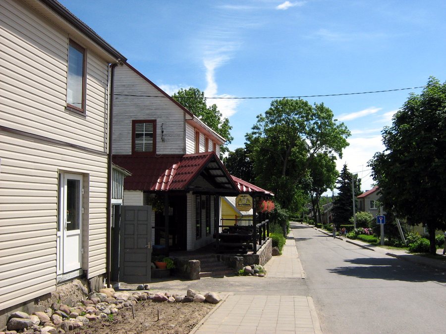 File:Plateliai.2007-06-15.jpg
Photo: Algirdas at Lithuanian Wikipedia via Wikimedia Commons, CC BY-SA 3.0
Key facts
- The settlement of Plateliai has been mentioned in historical sources since the 15th century.
- In 1792, Plateliai was granted Magdeburg rights and a coat of arms.
- Pilies sala and the Šventorkalnis Peninsula, with the former Plateliai Manor, are designated cultural heritage sites.
- Lake Platelių lies to the west of Plateliai.
- It is the largest and deepest lake in Žemaitija; its deepest point is about 48.5 m.
- The circular cycling route around the lake is 24 km long and is intended to start and finish in Plateliai.
Lake Platelių and the circular cycling route
Lake Platelių lies to the west of Plateliai. As the largest and deepest lake in Žemaitija, it shapes the landscape around the town; its deepest point is about 48.5 metres. This approximate depth figure adds a concrete sense of scale to the two superlatives. The lake and the cycling route offer different points of orientation: size and depth describe the body of water, while the route describes an activity with a clearly stated length.
The circular cycling route around the lake is 24 km long and is intended to start and finish in Plateliai. This means both the start and finish are planned for the same town, giving you a specific reference point when considering a cycling trip. As a circular route, it differs from a ride with separate start and finish locations. When comparing your interests, this focuses on a specific activity, while the details about the lake add context about its landscape.
Local history and designated cultural heritage
The settlement of Plateliai has been mentioned in historical sources since the 15th century. In 1792, Plateliai was granted Magdeburg rights and a coat of arms. These two dates represent different historical reference points: the 15th century marks the settlement’s mention in historical sources, while 1792 marks the granting of town rights and a coat of arms. This provides two clear chronological points for placing the town’s history in context.
The national park administration designates Pilies sala and the Šventorkalnis Peninsula, with the former Plateliai Manor, as cultural heritage sites. These specific places add a geographical perspective to the historical reference points. If you are interested in local history, you can consider historical development and the designated sites as two distinct points of reference.
Planning your trip
When deciding whether to visit Plateliai, you can first ask what you would most like to focus on during your stay. If you are looking for a specific activity, you could consider the 24 km circular cycling route as a focus; if local history is your priority, the mention of the settlement in historical sources since the 15th century, the town rights granted in 1792 and the designated cultural heritage sites offer other points of reference. The practical difference is between a route with a specified start and finish on the one hand, and historical and cultural reference points on the other. This can help you assess Plateliai according to your travel interests.
Discover more destinations: Mažeikiai, Luokės Seniūnija, Rapaliai, Ubiškė, Gečaičiai, Varniai, Plungė, Telšiai.
Go to the regional travel overview: Telšiai County.

