
Kurkliai: the Virinta, Sakura and wooden buildings
Accommodation in Kurkliai
Explore Kurkliai through its distinctive nature, culture and activities: protected meadows along the Virinta, wooden architecture, a Sakura Park and canoeing on the river. When choosing a destination, you can weigh up whether the landscape, architectural history or a water-based activity matters most to you.
Key facts
- The banks and meadows of the Virinta near Kurkliai have been protected within a landscape reserve for almost three decades.
- A path leads from the Kurklių Synagogue through the meadows to the Virinta.
- Kurkliai’s Sakura Park was established from 2022 onwards and has 28 Sakura trees.
- Kurklių Šv. Jurgio bažnyčia is a wooden building with features of folk architecture and neoclassicism.
- A large wooden bell tower building dating from 1874, with three bells, stands in the churchyard.
- The surviving wooden Kurklių Synagogue is a regionally significant object in the Cultural Property Register.
- Canoeing on the fast-moving and unpredictable Virinta is one of the activities in Kurkliai.
The Virinta and its meadow landscape
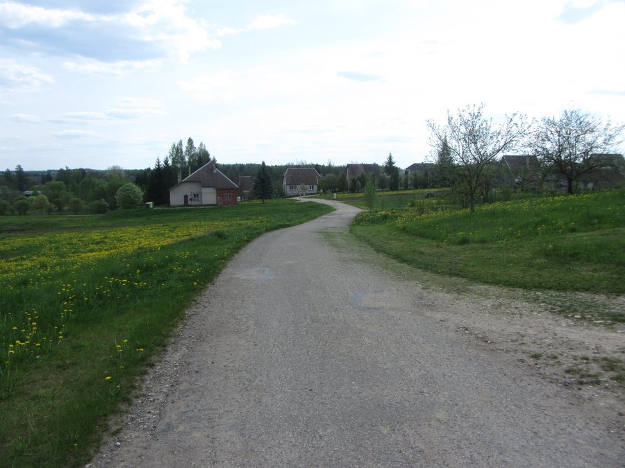
Along the Virinta, a protected landscape and a specific route come together: the banks and meadows are protected, and a path leads from the Kurklių Synagogue through the meadows to the river. The route description thus links a cultural site with the river landscape. If you are considering Kurkliai for its natural features, you can see this combination as a distinct focus.
These two details tell different sides of the place’s story. The reserve covers the banks and meadows; the route connects the synagogue through this terrain to the water. For your trip planning, this offers a specific way to take in the landscape and local history together, without treating them as a single sightseeing attraction.
Wooden architecture and cultural heritage
Kurklių Šv. Jurgio bažnyčia is in the town centre and, as a wooden church, combines features of folk architecture and neoclassicism. A large wooden bell tower building, erected in 1874 and containing three bells, stands in its churchyard. The church and bell tower are therefore two distinct examples of wooden architecture, differing in form and function.
The surviving Kurklių Synagogue adds another distinctive architectural feature. It is made of wood, is considered a regionally significant object in the Cultural Property Register, and is valued for its architectural details. Together with the church and bell tower, it makes wooden construction a defining cultural theme in Kurkliai. If you are interested in architectural forms and cultural heritage, you will find several clearly distinct points of interest here, rather than just one building.
Sakura Park and canoeing
The park, with 28 Sakura trees, was established from 2022 onwards. The number of trees and the start of its development give the place a distinct, clearly defined park attraction. Sakura Park thus adds a different aspect to a visit to Kurkliai alongside its older wooden buildings. For your choice of destination, this means that nature and culture can be found not only in the river landscape and historic buildings, but also in a purpose-created park.
If you are considering a water-based activity, you can look into canoeing on the Virinta. The river is fast-moving and unpredictable; both characteristics are central to describing the trip. This distinguishes canoeing from the path through the meadows, where the route between the synagogue and the river is the focus. The two themes therefore raise different questions when planning your trip: are you more interested in the connection between landscape and culture, or is a river trip your priority?
Kurkliai offers specific points of interest for a range of interests: protected banks and meadows, wooden architecture with different functions, a Sakura Park and canoeing. You can consider these individually or weigh them up together when choosing a place to stay.
Discover more destinations: Skiemonys, Rubikiai, Svėdasai, Andrioniškis.
Go to the main travel overview: Anykščiai District Municipality.

.jpg)