
Dituva on the Minija River: River and School History
Accommodation in Dituva
Dituva lies on the right bank of the Minija and is divided into Senoji Dituva and Naujoji Dituva. Its riverside location, bridges, and school history offer different points of interest: a school in Senoji Dituva is dated to 1736, while a larger two-classroom school was built in Dituva in the 1860s. Dituva’s place on a water route along the Minija is also part of the local landscape.
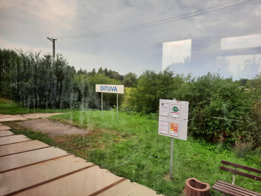
Dituva at a glance
- Dituva lies on the right bank of the Minija.
- The town consists of Senoji Dituva and Naujoji Dituva.
- A school dating from 1736 in Senoji Dituva is considered one of the oldest in Klaipėda Region.
- A larger two-classroom school was built around 1862–1864, when the number of pupils had risen sharply.
- Brothers Gustav and Ludwig Kurschat once taught in Dituva; their brother Friedrich was a linguist and professor in Königsberg.
- A suspension bridge connects Dituva with the villages of Butkai and Rokai.
- In Naujoji Dituva, a rope-hung “monkey bridge” offers a view of the banks of the Minija.
- Dituva lies along the route of a 120-kilometre waterway on the Minija.
Senoji and Naujoji Dituva
The names Senoji Dituva (Old Dituva) and Naujoji Dituva (New Dituva) make it easier to find your way: they refer to the town’s two parts. The historic school connection is in Senoji Dituva. In Naujoji Dituva, the rope-hung “monkey bridge” is a viewpoint over the banks of the Minija. Alongside the history, these features highlight different connections with the river landscape, without reducing the town’s character to a single theme.
School history with precise dates
A school dating from 1736 survives in Senoji Dituva and is among the oldest in Klaipėda Region. Another important period is 1862 to 1864: a larger two-classroom school was built in Dituva at that time because the number of pupils had risen sharply. The present-day building is dated to the second half of the 19th century based on its architecture.
The names Gustav and Ludwig Kurschat are also part of the town’s school history. Both brothers of the linguist Friedrich Kurschat once taught in Dituva. Friedrich Kurschat was a professor in Königsberg. These connections offer another way to explore the history of education in Dituva: alongside buildings and construction dates, they bring specific teachers and their family relationships into focus.
The Minija, bridges, and travel planning
The riverside location places Dituva on the Minija; the water route also places the town along a longer itinerary. It is 120 kilometres long in total. These two details offer different kinds of orientation: the right bank describes Dituva’s location, while 120 kilometres refers to the entire water route.
A suspension bridge connects Dituva with the villages of Butkai and Rokai. In Naujoji Dituva, you can view the bank of the Minija from a rope-hung “monkey bridge.” If you plan to include a crossing or viewpoint in your visit, check access and conditions in advance. Dituvos turgus, the open-air weekend market in Dituva, may also be relevant to your plans; if you would like to visit the market, check the current date.
Compare specific offers based on their stated locations. This can help you match the town’s layout with your interests in its school history or connections to the Minija.
Discover more destinations: Radailiai, Vileikiai, Skuodas, Pervalka, Švėkšna, Dreverna, Dauparai, Ventė.
For the broader travel overview: Klaipėda District.

