
Bubiai: Hotels and accommodation
Accommodation in Bubiai
The Bubių istorinis takas is a circular trail approximately 2.2 km long. It is suitable for hiking and cycling; it is marked with green signs of the Kurtuvėnų regioninis parkas bearing the number 4, as well as with directional arrows. The Šiauliai-Bubiai-Kurtuvėnai cycle path is 17 km long.
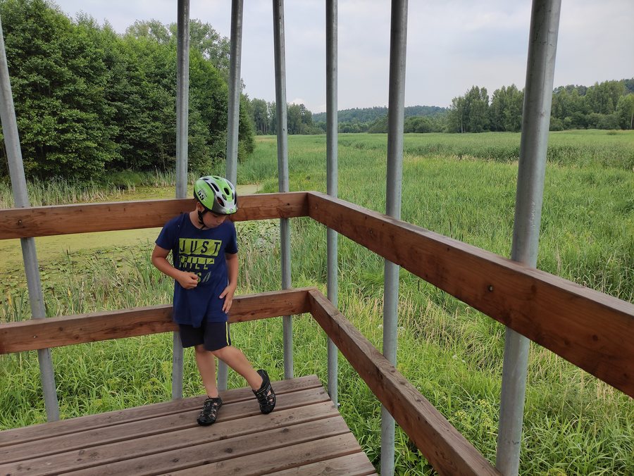 File:Rozhledna, Bubiai, okres Šiauliai, Litva 02.jpg
Photo: Fry72 via Wikimedia Commons, CC BY-SA 4.0
File:Rozhledna, Bubiai, okres Šiauliai, Litva 02.jpg
Photo: Fry72 via Wikimedia Commons, CC BY-SA 4.0
You may wish to find a hotel for your trip to Bubiai.
Landscape
Girnikų Kalnas is a hill in the vicinity of Bubiai. Žuvininkų Piliakalnis is a hill in the wider regional surroundings of Bubiai. Bubių tvenkinys is also known as Šiaulių jūra and Bubių marios.
The Dubysa Valley surrounds the Bubių piliakalnis hillfort to the north, west and south.
History
In the 13th century, one of the strongest castles of Šiaulių žemė stood on the Bubių piliakalnis hillfort. The hillfort played an important role in the battles against the Crusaders. Artefacts from the 11th to the 14th century were found at the Bubių piliakalnis hillfort.
Culture
The Bubių dvaro sodyba manor complex began to take shape at the turn of the 18th and 19th centuries. It includes a park and a palace built in 1908. On 31 March 1999, the manor complex was entered in the Lithuanian Register of Immovable Cultural Heritage; its register code is G211K.
To the overarching travel overview: Šiauliai County.
More destinations
More places under the same destination:

